


Primary Times - the definitive what’s on and where to go family guide of activities and events for children of primary school age. Things to do with your kids during the school holidays including arts and craft activities, music and theatre for children, parties, competitions, days out, and family attractions along with term time drama schools, dance classes, after school clubs and sports activities. Things to do at a place near you!

TEN CHRISTMAS FAMILY WALKS AROUND EDINBURGH AND THE LOTHIANS
.JPG) CORSTORPHINE HILL
CORSTORPHINE HILL
DISTANCE: Up to 2½ miles.
HEIGHT CLIMBED: Up to 420ft.
TIME: Up to 2 hours.
MAP: OS Landranger 66.
HOW TO GET TO THE START: There are a number of access points – on Queensferry Road, Clermiston Road and Corstorphine Road.
IN SUMMARY: The sight of icy branches on the trees which cover this hill is all you can need to escape the frantic festive period. It is a good idea to take which ever path you fancy - but always remember to keep your bearings for the return.
ARTHUR’S SEAT
DISTANCE: 2 miles.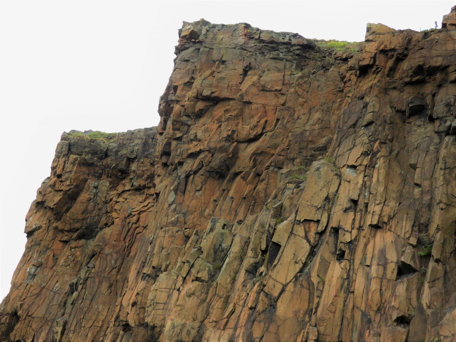
HEIGHT CLIMBED: 755ft.
TIME: 1.5 to 2 hours.
MAP: OS Landranger 66.
HOW TO GET TO THE START: Use the pay and display car park next to the Palace of Holyroodhouse. Turn right at the bottom of the Royal Mile and follow the road round, going left at a roundabout then left into the car park.
IN SUMMARY: Arthur’s Seat, towering over the city, is an obvious place to escape to, as well as being a great viewpoint. Starting from the Palace of Holyroodhouse you get to experience the whole of this little hill, especially if you return via the Radical Road below Salisbury Crags.
 HERMITAGE OF BRAID AND BLACKFORD HILL
DISTANCE: Up to 3 miles.
HEIGHT CLIMBED: Up to 450ft.
TIME: Up to 2 hours.
MAP: OS Landranger 66.
HOW TO GET TO THE START: The obvious access point is at the bottom of Braid Road.
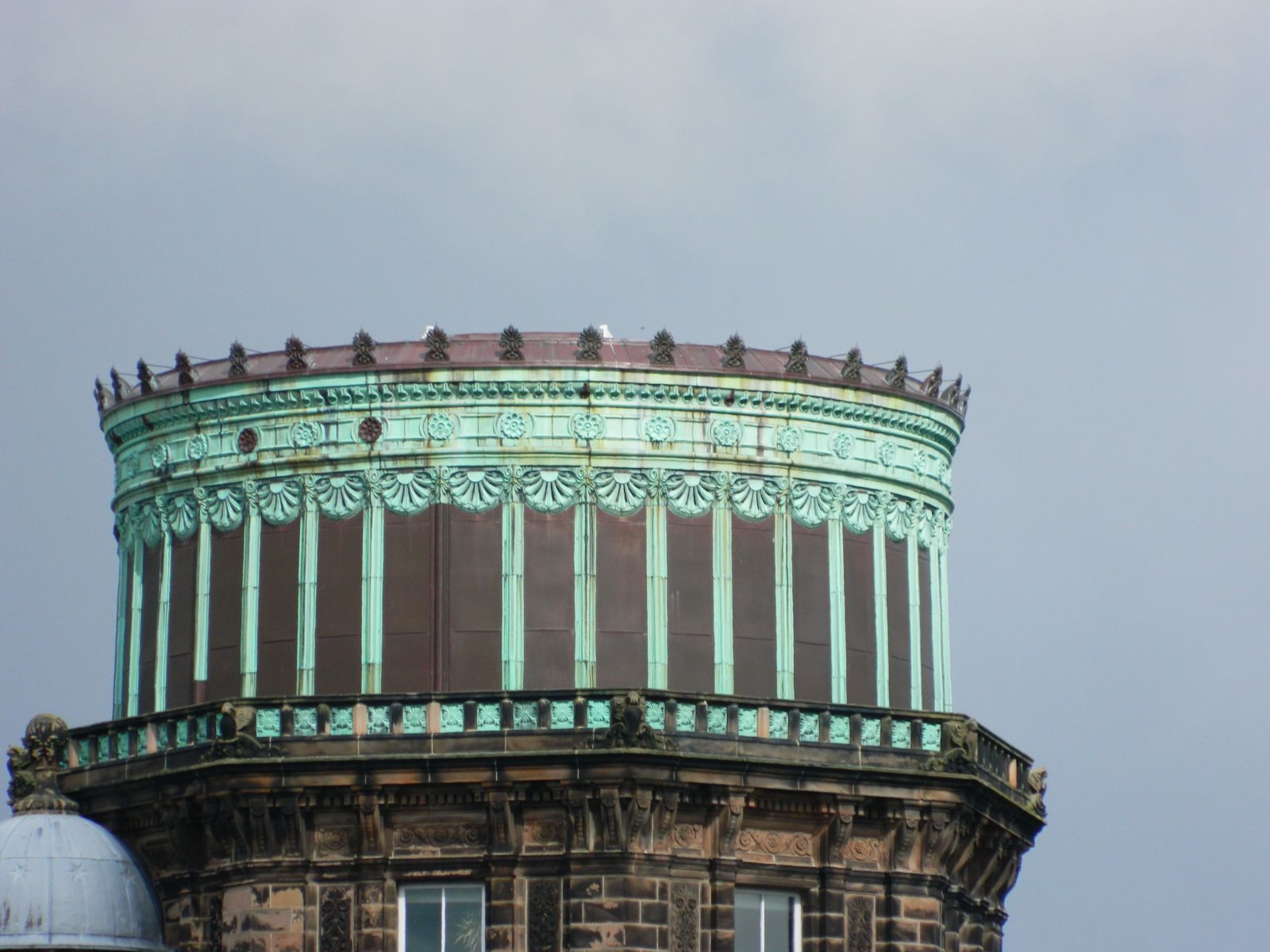
IN SUMMARY: A magical spot for this time of year, the Hermitage of Braid is a wonderful place to walk by a burn amid trees. For a bit of extra exertion, you can also reach the top of Blackford Hill and a great view of the city, beyond the Royal Observatory.
WATER OF LEITH FROM LEITH
DISTANCE: Up to 4 miles (one way).
HEIGHT CLIMBED: Negligible – some steps.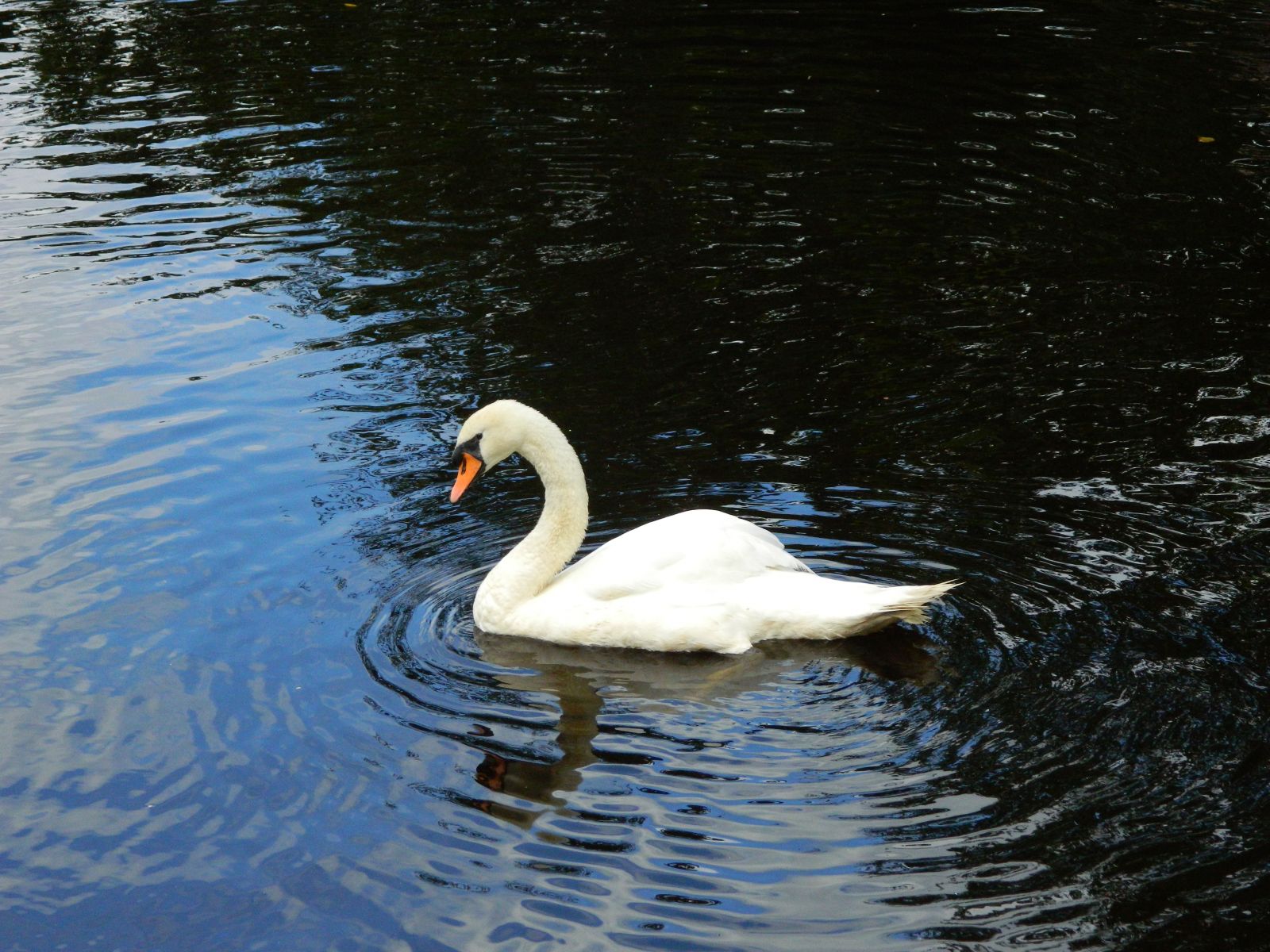
TIME: Up to 2 hours (one way).
MAP: OS Landranger 66.
HOW TO GET TO THE START: The waterfront at Leith is the end of the river but it can be busy – other access points include Stockbridge and Canonmills.
IN SUMMARY: The Water of Leith is a haven for wildlife with herons and even kingfishers to be spotted. A stroll along it will calm the mind but remember if you go from Leith as far as Dean Bridge (4 miles one way), you will have to go back the same distance.
SWANSTON AND THE FOOTHILLS OF THE PENTLANDS
DISTANCE: 3 miles.
HEIGHT CLIMBED: 560ft.
TIME: 2 hours.
MAP: OS Landranger 66.
HOW TO GET TO THE START: Swanston is just to the south of Edinburgh with a car park to the left of the .golf club
IN SUMMARY: Robert Louis Stevenson spent many childhood summers in Swanston, roaming the Pentlands. A walk from the little village’s thatched-roofs and into the hills is a great stroll; up the Swanston Burn and then over the top of the dry ski slopes before a return along tracks.
COCKLEROY, LINLITHGOW
DISTANCE: 2½ miles.
 HEIGHT CLIMBED: 430ft.
TIME: 1½ to 2 hours.
MAP: OS Landranger 65.
HOW TO GET TO THE START: Beecraigs Country Park visitor centre is signposted from the junction of Linlithgow’s High Street and Preston Road.
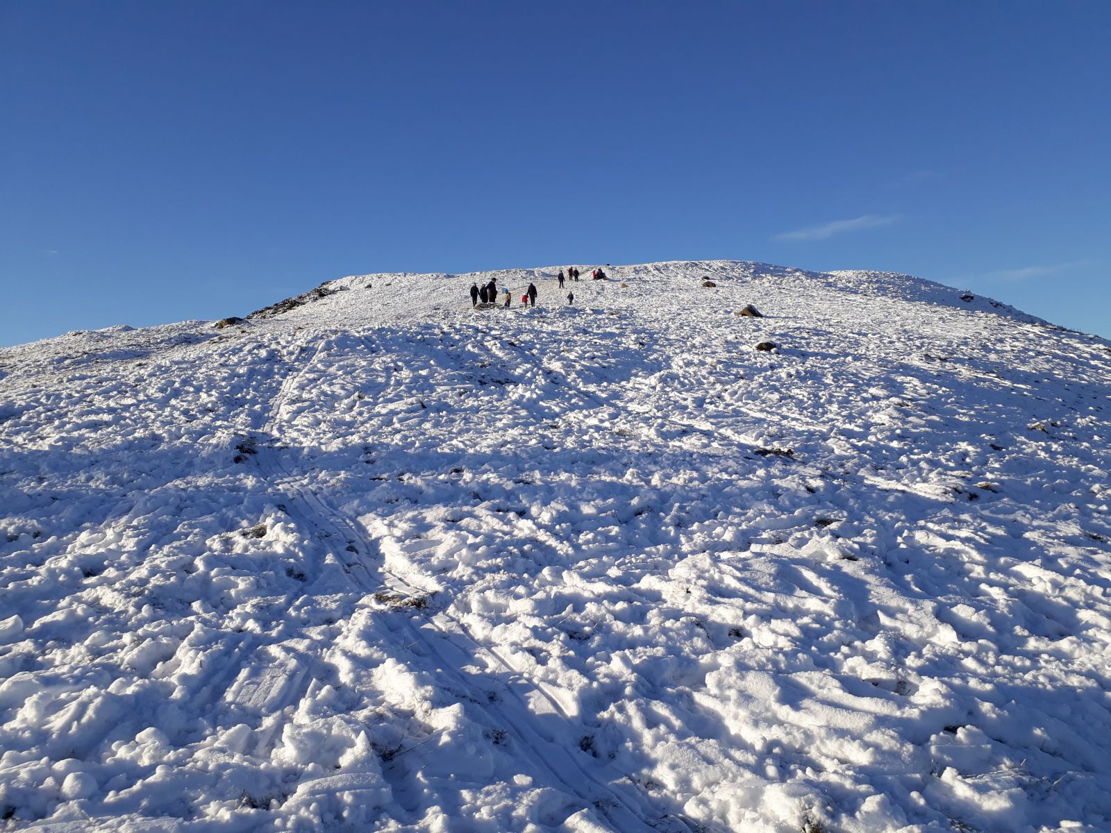
IN SUMMARY: A walk from Beecraigs Country Park visitor centre up to this great viewpoint will energise you, even if you have had too many selection boxes. Once through the woods, on a clear day you can see Arran in the west with the Pentlands and mouth of the Firth of Forth to the east, while the Ochils and Trossachs are to the north.
BLACKNESS AND WESTER SHORE WOOD, FIRTH OF FORTH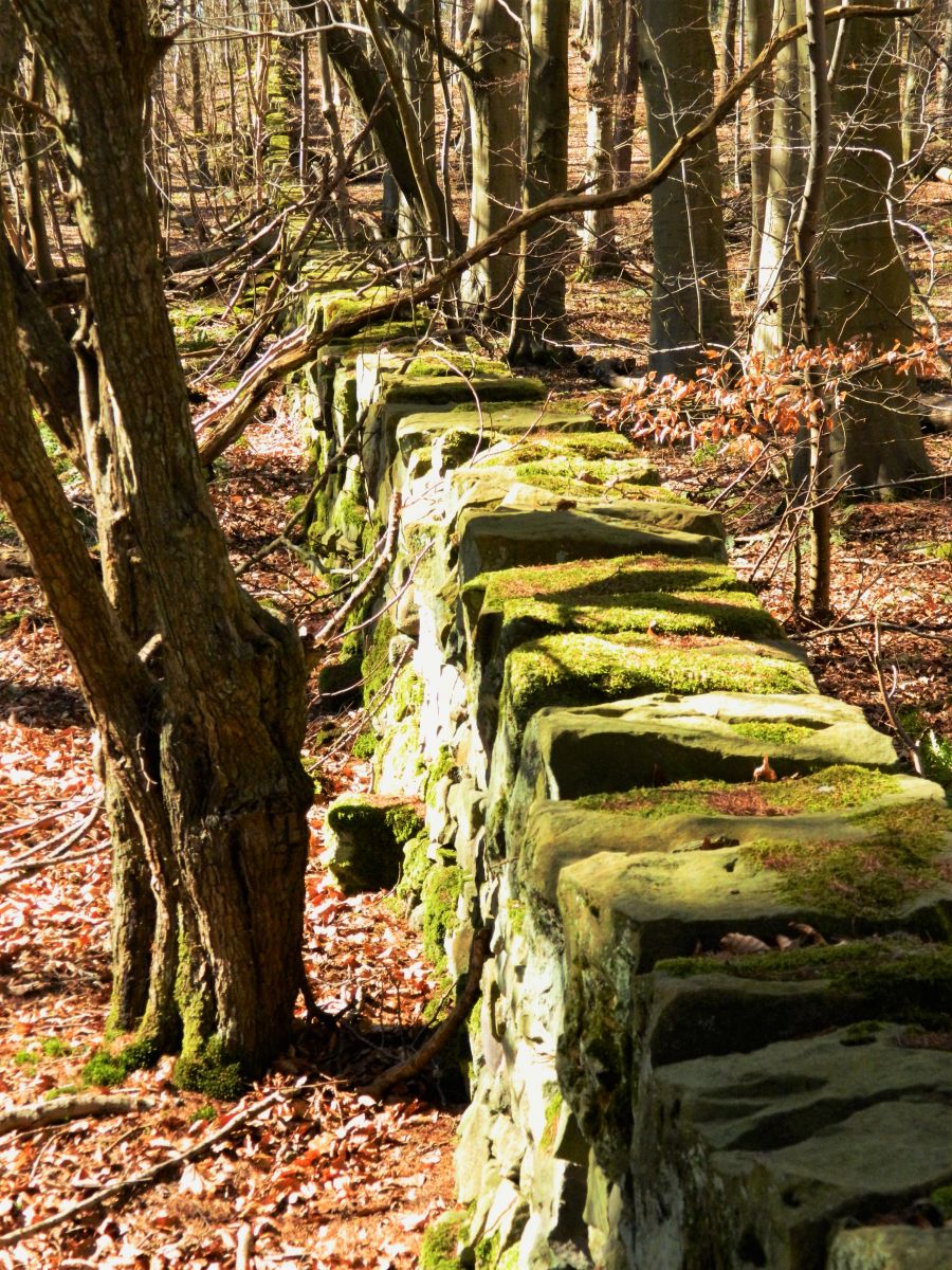
DISTANCE: 4 miles.
HEIGHT CLIMBED: 150ft.
TIME: 2 to 2½ hours.
MAP: OS Landranger 65.
HOW TO GET TO THE START: Drive to the centre of Blackness village and go right at the bottom of the hill. After about 50 yards there are parking spaces on the left.
IN SUMMARY: The hit US TV series Outlander was filmed in these parts and there is a real feeling of stepping back in time as you pass Blackness Castle, on the Firth of Forth. Once in Wester Shore Wood you almost expect to see horses and carts along the track as you walk to the edge of Abercorn and its ancient church A return along the top of the wood makes for a great circular route.
GLADHOUSE RESERVOIR, MIDLOTHIAN
DISTANCE: 5 miles.
HEIGHT CLIMBED: 100ft.
TIME: 2 to 2½ hours.
MAP: OS Landranger 66
HOW TO GET TO THE START: Just less than three miles south of Temple, turn off the B6372 on a sharp bend. About a mile further on, go left to follow a minor road around Gladhouse Reservoir. After passing below the dam and reaching a T-junction go right. There is parking on the left, just after the road has skirted the eastern edge of the reservoir.
IN SUMMARY: Nestled below the Moorfoot Hills, Gladhouse Reservoir is a picturesque, gentle place for a good stroll. You can walk all the way round very easily, crossing a mixture of farmland and quiet lanes. The wide-open spaces are all around are the perfect antidote to busy Christmas and New Year celebrations.
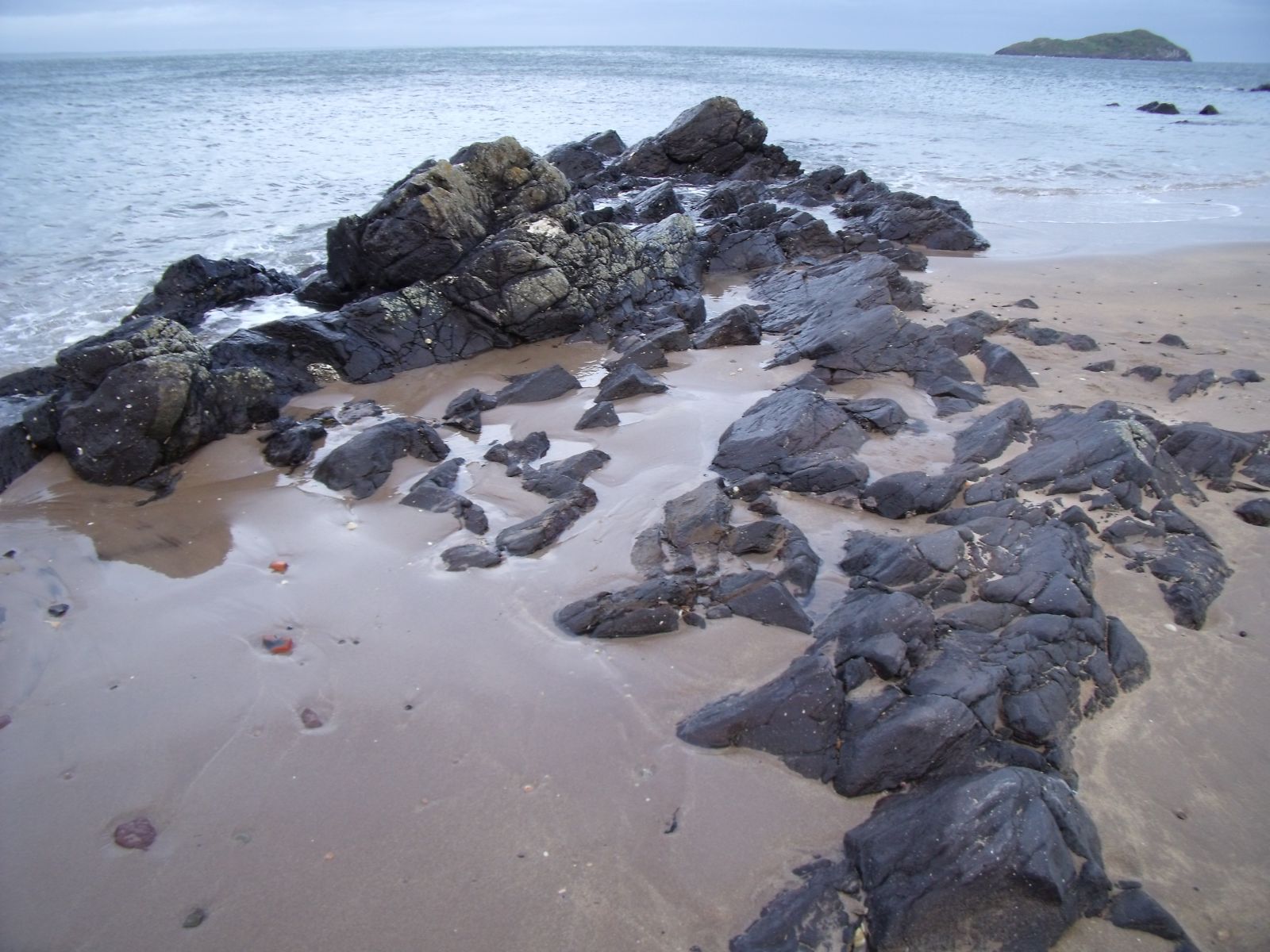 DIRLETON AND IT’S BEACHES, EAST LOTHIAN
DISTANCE: 3½ miles.
HEIGHT CLIMBED: Negligible except for a short clamber up a sand dune.
TIME: 1½ to 2 hours.
MAP: OS Landranger 66.
HOW TO GET TO THE START: There is a car park in the centre of Dirleton, off the B1345, opposite the Castle Inn pub.
IN SUMMARY: The pretty village of Dirleton, with its castle, green and pub is a lovely spot and a good place to start a walk down to a couple of beautiful beaches. Starting with a stroll across farmland, you are soon walking across dunes and down to golden sands with a view out to the island of Fidra with its lighthouse. After the long sweep of Broad Sands, you return via the dunes and woodland.
TYNE ESTUARY AND JOHN MUIR COUNTRY PARK, EAST LOTHIAN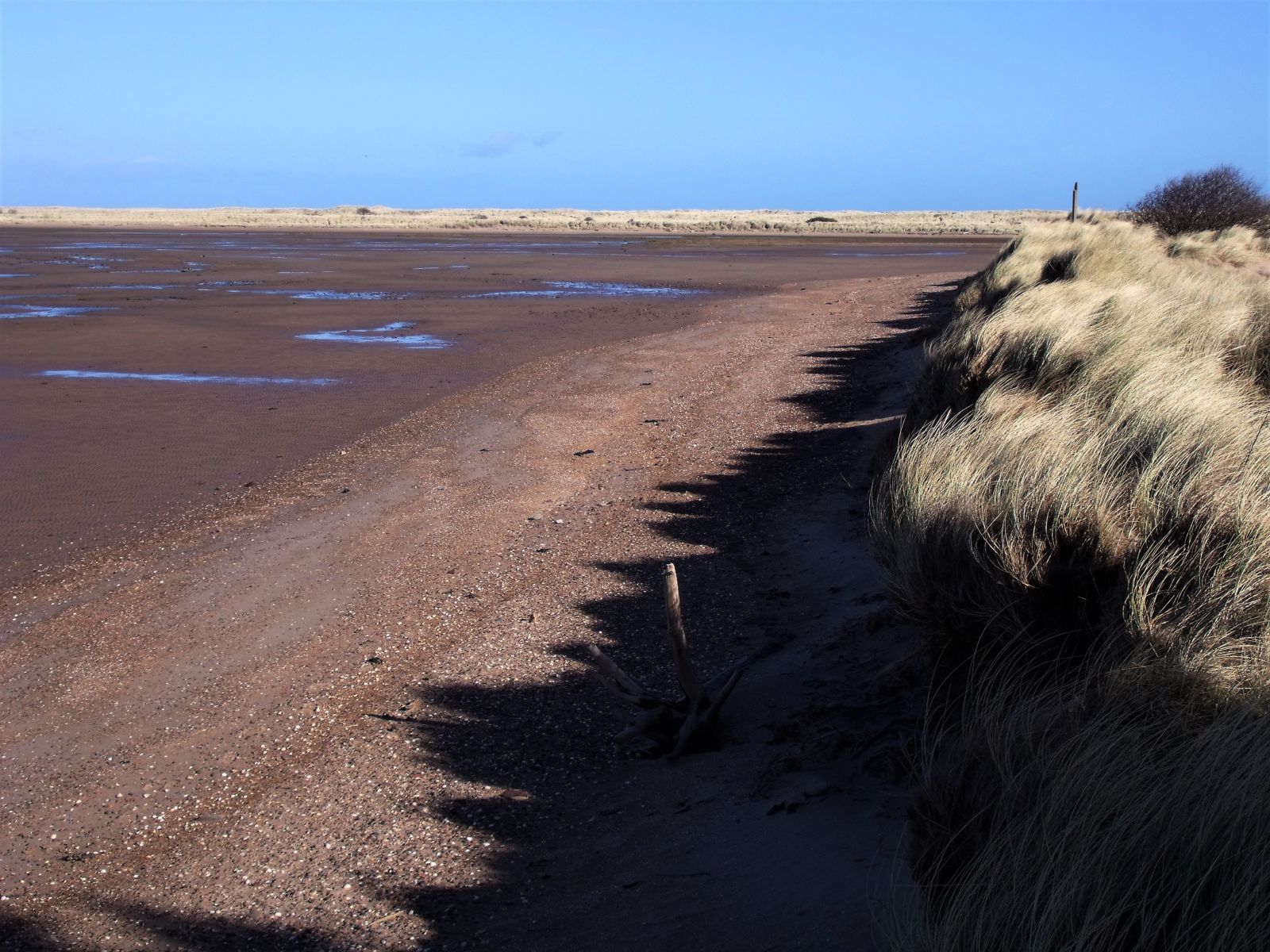
DISTANCE: 5 miles.
HEIGHT CLIMBED: Negligible.
TIME: 2½ to 3 hours.
MAP: OS Landranger 67.
HOW TO GET TO THE START: Turn off the A1 at the Thistly Cross roundabout and follow signs for Dunbar. About a mile from the roundabout turn off the A1087 just before the 30mph sign for West Barns, following a brown sign for John Muir Country Park. At a junction in front of East Links Family Park go right to reach a car park for the country park.
IN SUMMARY: When the weather is inclement but a walk is needed I always feel it best to head to the coast where, even if it is raining and there is a high wind, the dramatic sea makes up for any discomfort. The John Muir Country Park outside Dunbar means you can walk along a beach, the Tyne Estuary, and then inland fields.